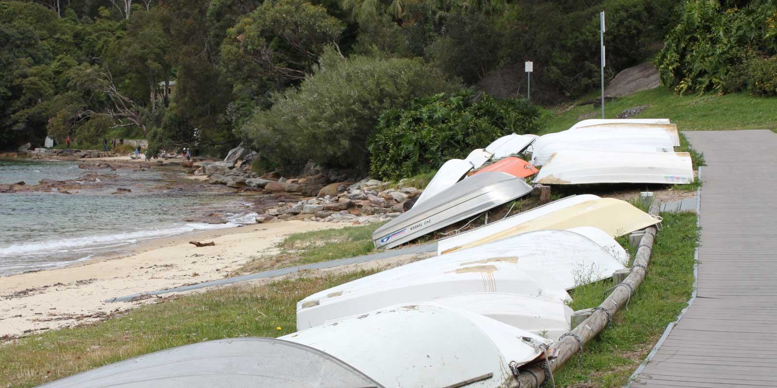
Forty Baskets Beach is Stop 13 on the Spit to Manly Walk, as seen in the downloadable Spit to Manly Complete Guide and Map.
How to get to Forty Baskets Beach
If walking along the Manly Scenic Walkway, coming from Reef Beach…
Before reaching 40 Baskets Beach, a signposted track junction marks an “alternate route to Manly”. This is for when exceptionally high tides make the short sandy section prior to the beach impassable.
Unless you anticipate personal difficulties walking over uneven rocky ground and stepping over some larger rocks, then we recommend continuing straight. The alternative route is longer, more strenuous, and less scenic.
If you choose the alternative track, walk up the hill, turning right at the top to come out of the national park into Beatty Street. Keep right to stay on Beatty Street. Continue 100m downhill. On the right, between 28 and 30 Beatty Street, are stairs leading back to Forty Baskets Beach.
If you choose instead to continue straight on the main bush track, you’ll soon come out onto the rocky water’s edge before the main sandy area of Forty Baskets Beach.
Car Parking
If you prefer to drive, park in Beatty Street, Balgowlah Heights. The stairs leading down to Forty Baskets Beach are between 28 and 30 Beatty Street.
History of Forty Baskets Beach
Imagine a fishing day so good it’s immortalised as a place name. One 1885 afternoon, fishermen caught forty baskets of fish here.
The fish fed recently returned soldiers from the Mahdist War in Sudan who were temporarily isolated at the Quarantine Station across the water.
The Sudan Campaign, a British colonial war, was the first time Australia – or the Colony of New South Wales as it was known at the time – sent troops overseas on a military campaign.
The Australian soldiers did not participate in any battles. The only casualties came from disease, including one who died of typhoid during the five-day stay in quarantine.
Facilities
There are public toilets at Forty Baskets Beach, with change rooms.
Refill bottles from the water fountain in the grassy area past the swimming enclosure.
For picnics, spread out on the grassy area under the shade of Norfolk Island Pines, or sit at the one table and chairs. There is also an electric barbecue.
Where to go next on the Spit to Manly Walk
Savour the last bit of bush as the track becomes paved road. At the Y intersection, stay high on Gourlay Avenue to your left. This is a public road; please be careful.
Past a small car park, turn right onto a signed path between 8 and 9 Gourlay Avenue.
Turn right onto North Harbour Street. At the end of the street, take the stairs down to North Harbour Reserve.
Read more about the Spit to Manly Walk.
Get everything about the walk (track notes, stories, map, getting there, and more) by downloading the Spit to Manly Complete Guide (includes map). Or just grab the Spit to Manly Coastal Walk Map.
Jump to any stop by clicking on the name below.
Stop 1: Ellery’s Punt Reserve
Stop 2: Fisher Bay ‘Midden’
Stop 3: Fisher Bay Houseboat
Stop 4: Sandy Bay, Hawkesbury Sandstone
Stop 5: Clontarf Reserve
Stop 6: Clontarf Pumping Station
Stop 7: Castle Rock Beach
Stop 8: Grotto Point Lighthouse
Stop 9: Grotto Point Aboriginal Engraving Site
Stop 10: Crater Cove
Stop 11: Dobroyd Head
Stop 12: Reef Beach
Stop 13: Forty Baskets Beach – you are currently on this page
Stop 14: North Harbour Reserve
Stop 15: Fairlight House
Stop 16: Manly Wharf

