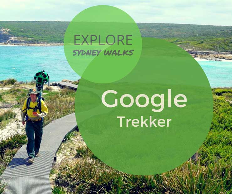
It's one thing reading about a walking track or seeing a few fancy photos, and another thing actually being there yourself. Until such time as three heel clicks of ruby red hiking boots will magically transport you, we've found the next best thing. It's Google Street View Trekker, and it's the online giant's attempt to immerse you off-road and on-track.
Take the same technology that allows you to Google your own house (and realise you left the bins out on the day the photography car cruised by), whack the ginormous 360 degree camera in a backpack, and head bush. There are locations all over the world to explore vicariously with a few of the best Sydney walks getting the Trekker treatment.
Google Trekker Sydney Locations
Here are all the places you can experience virtually:
- The Coast Track in Royal National Park. Google Trekker starts at the Water Run, which is just north of Wedding Cake Rock, so head south (ie click the track to the right) to “walk” there.
- Figure 8 Pools, also in Royal National Park. You can tell Google Street View Trekker shot the images a few years ago, because it's not bustling with hordes of visitors. Yeah, it's still worth a visit (here's how to get to Figure 8 Pools), but be warned it can get pretty busy.
- Bradleys Head to Chowder Bay Walk. Google Trekker starts at the Amphitheatre, with views across the water to the Harbour Bridge. Why this easy walk isn't more popular, I'll never know – read more about the Bradleys Head walk.
- South Head near Watsons Bay. Google Trekker starts right out on the headland. In just one full rotation, you'll see the city across the harbour, the original lightkeeper's cottage, a disused fort and North Head. If that tempts you to leave the virtual world and do it for real, read more about the Watsons Bay Walk.
- Barrenjoey Lighthouse, high on Barrenjoey Headland overlooking Palm Beach. If you click along the track in the direction of the mother and child, you'll (virtually) head down Barrenjoey Track. To see the more impressive views – but steeper walk – of Smugglers Track, click past the construction site.
- Bullawarring Track is a more recent addition to Google Trekker. You may have heard of Kingfisher Pool? Anyhoo, fab spot for a beginner overnight walk. It's in Royal National Park but not on the coast, so lovely bushland, totally different perspective to the coastal walks. It's on our To Do List to tell you more about it soon as we've camped there heaps. Meanwhile, here's the National Parks info.
You know what's missing? Two iconic Sydney and internationally recognised walks; the Bondi to Coogee coastal walk and Spit to Manly walk. All the Trekker footage linked to above was by NPWS partnering with Google, however these two walks are not entirely on National Park land and cross a few local council jurisdictions. Someone's gotta walk it!
How to use Google Street View Trekker
It takes a bit of getting used to “walking” the tracks virtually. And fingers crossed you have decent internet otherwise the experience could be rather slow as each “step” requires a new image to load.
First click will find you looking at a view. Do you need to move closer to the track, or straight ahead? Click there. Track turns left? Click to the left of the screen, along the track. Hmm, now can't see the track at all? Click and hold down while you move the image around to re-orientate yourself. Got it? Now click again on the track to keep moving forward. Repeat. You can “look around” by clicking and holding while moving the image around. That's a good thing for headland views where you want a 360 degree view.
Image: A NPWS ranger photographs The Coast Track in Royal National Park with the Google Street View backpack. Credit: Office of Environment and Heritage.


